A hike where nature, culture and history combine for those active and adventurous travellers looking for an unforgettable experience in Northern Argentina.
Almost 100 km from the city of Salta you will find the Cuesta del Obispo, a zig-zag and steep stretch of the provincial route 33. The slope ascends from Chicoana and ends at Piedra del Molino.
 The adventure begins anyday at 7 am and takes the whole day. Leaving Salta in southern direction, you will pass by Cerrillos and El Carril towns, turning West towards Chicoana until Quebrada de Escoipe. On the way, you will be able to see diverse species of cacti and a colorful and rocky landscape.

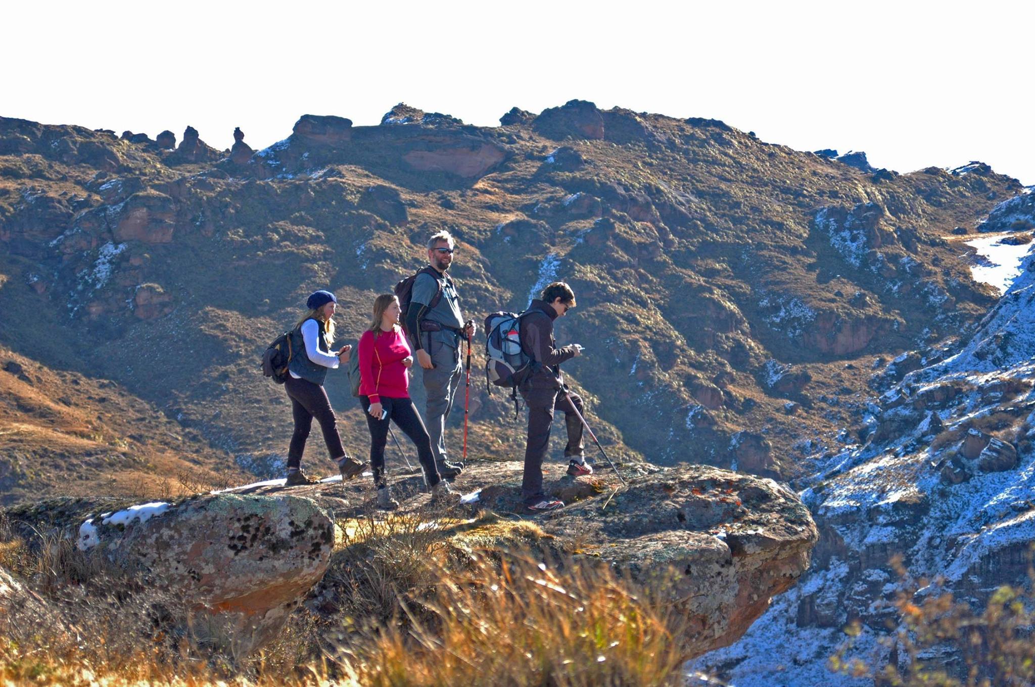
After the two-hour trip, at paraje Margarita the group will take a local bus ascending through Cuesta del Obispo, reaching the access to the National Park Los Cardones. The hike begins here, descending through Valle Encantado (Enchanted Valley), a natural sanctuary for the Salteños. Following a red dirt path surrounded by exuberant vegetation and multicolor rocks, the walk will provide an extraordinary scenery of natural colours and strange shapes sculpted on the rock through the years by rain and wind. It is said that walking through this path is like walking on the clouds, since there is a pond between high meadows and red rock formations where the clouds almost touch the ground.
 One of the main attractions of this descent are the cave paintings that you will see entering a private plot, ancient traces of the Incaic culture that will remind you that this was once an Inca trail. On the way, you might also spot majestic Condors flying in their natural habitat.
Nature, history and culture combine in this hike. The highlights are definitely the incredible and colorful scenery above the clouds and the breathtaking views of Cuesta del Obispo whilst exploring Los Cardones.
 The hike is about 17,4 km long, mainly descending, and takes up to 6 hours. It is advisable for people in good health, with minimal ability to walk on rocky and irregular paths.
FACT SHEET
- Min. 2 Pax required. Bookings with one week of anticipation.
- When: Everyday at 7 am (transfer from hotel)
- Level of Challenge: Medium/High
- Recommended Season: All year long, except during summer rains.
- Duration of the activity: Full day, 11 hours including transfer and hike (4-6 hours).
- Length of the Trek: 17,4 km
- Starting Altitude: 2270 msnsm
- Max Altitude Climbed: 3100 msnsm
INCLUDED
- Transfers from and to hotel.
- Trekking poles.
- Snacks and picnic lunch.
- English speaking guide.
- Insurance.


 At 6 am Alejandro came to pick us up. The sun is rising over Iguazu. There were dew-drops sprayed all over the ground and the vegetation. The scent of the jungle and the fresh air is something to be remembered and taken with us on our way back home. We drive along the road to the Iguazu National Park till we reach a remote location where we stop for breakfast.
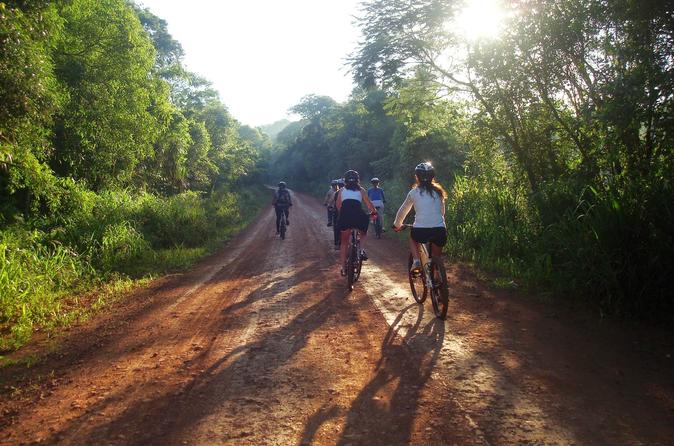
 The table is set and we enjoy a regional breakfast picnic-style with fruits, cereals, coffee, tea and mate, Meanwhile Alejandro gets the bikes ready for the ride. We are going to take a distant road into the Iguazu National Park which protected by the National Border Police to dive into the jungle. The excursion is great fun and relaxed. Alejandro is an excellent guide with a good knowledge of the area.
  We ride our mountain bikes on the red soil which is characteristic in Misiones Province. As we are pedaling, sometimes we stop for birdwatching. Alejandro is a professional birdwatcher and he guides us with his book of birds to show us every specie that we meet along the way.
 There are several species of mammals in the area. We can see footprints of Jaguars, Tapirs and some wild cats, We can also be witnesses to the interaction among animals in the forest. For example we could see the trail left by a Tapir on the trail we were riding.
 We reached the coast of the Iguazú river. One of the highlights on this excursion is being able to watch the “Devil’s throat” waterfall from the back. The scenery is beautiful, We stayed for a little watching the falls. We then continued on our journey and went back along the same trail.
  This half-day excursion is great for those who like to get to know more about the jungle and its life. It is for active travelers who are not afraid of pedaling and having a good time. If you are one of them you have to get on this tour and many other active experiences in Puerto Iguazu. Ask your Kallpa Account Executive and they will help you find the one that´s best for each traveller.