Patagonia: one of the most sparsely populated places on planet Earth, surrounded by pristine wilderness and the dramatic scenery of the Patagonian steppe. This Last Frontiers expedition takes you for 8 days to the outmost skirts of this territory, diving into the last less traveled corners in the Argentine and Chilean Patagonia.
On the first day of our adventure, we drive north from El Calafate to an authentic estancia, where we will also spend the night. La Angostura is a ranch in the Santa Cruz province that has been runned by the same family since 1916. Nowadays, the grandson of the original owner welcomes and delights tourists with home-made meals and family anecdotes of the estancia.

Day 2 of the journey takes us to the Cueva de las Manos (Hands Cave), a UNESCO heritage site and one of the most famous and fascinating displays of drawings and paintings by the primitive inhabitants of these lands, the pretehuelches. These are the first artistic manifestations known from the south-american original cultures and were originated during an extensive period from the 9300s to the 1300s before today. The drawings show different elements related to the daily life of the tehuelches, being the positive and negative spray-painted hands’ silhouettes the most recognized ones.

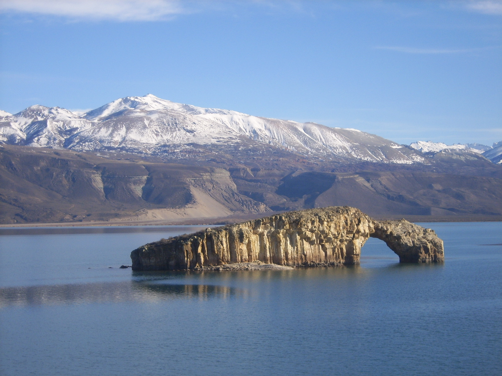
This day ends in Lago Posadas, located north in Santa Cruz province and in the oriental border of the Andes range.
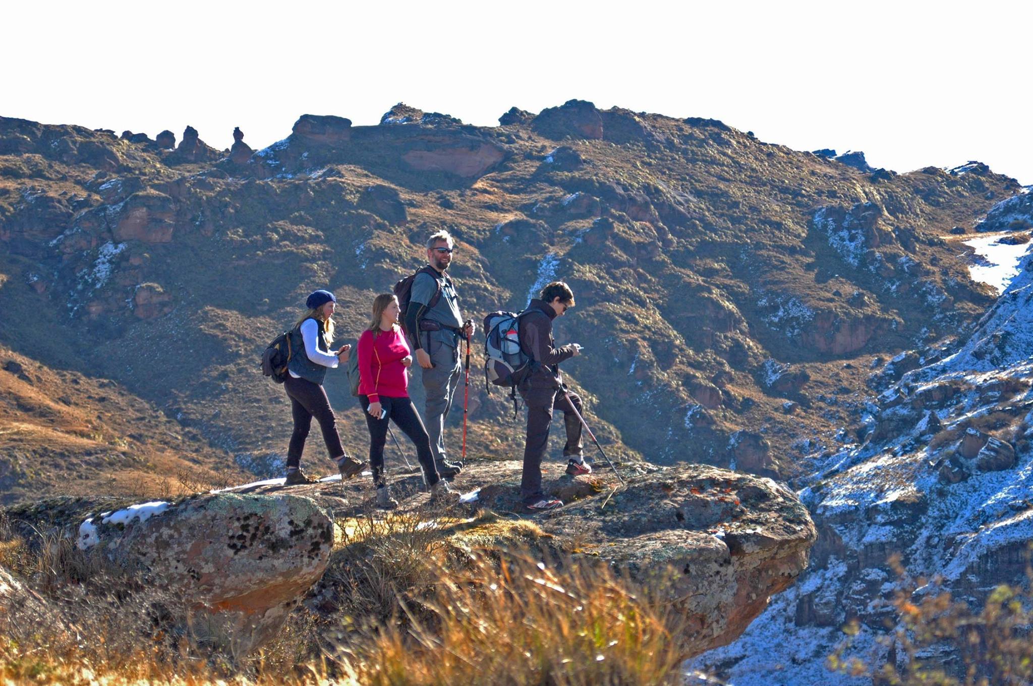
From this point, the next day we depart towards Chile. Lago Posadas provides one of the most scenic, hard and off-the-beaten paths in southern Argentina. This day’s hike involves walking along basaltic dams and sandstone formations -volcanic remains of the Andes’ origins- with views to one of the highest peaks in the Patagonia: Mt. San Lorenzo.

Later this day, we drive through Paso Roballos -an international mountain pass to cross the Argentina/Chile border- and finally arrive in Puerto Bertrand, where we spend the night.
The next morning we drive southwest along the Chilean Carretera Austral, next to Baker River. This is a scenic drive into the wilderness of Chile, with views of the mountains and the aquamarine river waters. We finally arrive to the Pacific coast fiords in Caleta Tortel. This unique fishing village doesn’t touch the ground. It is beautifully positioned between two ice fields, in a zone with archipelagos, canals and estuaries, enclosed by steep mountains and right next to Baker River’s mouth. With more than 7 km of walkways, platforms, bridges and stairways made of cypress wood instead of concrete streets, this village was declared landmark due to its architecture and traditional way of life.

After spending the night in this magical place, day 5 awaits. We arrive at the utmost tip of the Carretera Austral in Villa O’Higgins. This village is one of the fastest growing locations in the Carretera. Actually, this is the end of the road and the beginning of a new journey. Near the city, the Mosco River Valley’s hills and wetlands are home to a large colony of huemul, the patagonic deer that is depicted alongside the condor on the Chilean coat of arms.

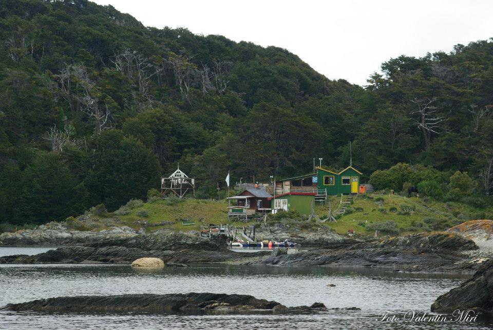
Day 6 brings us the Last Frontier of the trip. We navigate the emerald waters of O’Higgins Lake, along one of its eight arms, arriving lastly in Candelario Mancilla. The nature of this amazing spot, its few inhabitants and vibrant affluence of travelers impresses us.
After lunch here, we hike back to Argentina. A 3 hour walk in the middle of the forest through Candelario Mancilla and Lago del Desierto takes us to the border again, arriving in El Chaltén, Argentina’s trekking capital and final destination of this exciting journey.

The last two days ahead are at your leisure, but if you’re not too tired we highly recommend hiking on your own or with a guide to Laguna de los Tres and face one of the most impressive mountain ranges in America: the Fitz Roy Massif. We also suggest a trek to Laguna Torre, another classic hike in El Chaltén through diverse glacial landscapes, nir and lenga forests and several panoramic mountain views. The trip ends with shuttle service to El Calafate town or airport.


As you know by now, this amazing expedition provides a unique and adventurous experience across unfrequented paths enriched by the beautiful scenery and wilderness of the Last Frontiers of the Patagonian steppe. A perfect journey for nature and hiking fans.
FACT SHEET
- Min. 3 pax required.
- 8 day excursion.
SERVICES INCLUDED
- 7 nights of accommodation in economic hotels in standard rooms, including breakfast.
- Entrance fee to Cueva de Las Manos.
- Excursions and services as described in the itinerary.
- Fees and expenses for the TG.
SERVICES NOT INCLUDED
- International and national flights.
- Airport taxes.
- Tips and personal expenses.
- Meals, drinks, excursions and services not mentioned in itinerary.
- Optional activities.
- Medical insurance.


 The adventure begins anyday at 7 am and takes the whole day. Leaving Salta in southern direction, you will pass by Cerrillos and El Carril towns, turning West towards Chicoana until Quebrada de Escoipe. On the way, you will be able to see diverse species of cacti and a colorful and rocky landscape.
 One of the main attractions of this descent are the cave paintings that you will see entering a private plot, ancient traces of the Incaic culture that will remind you that this was once an Inca trail. On the way, you might also spot majestic Condors flying in their natural habitat.
 The hike is about 17,4 km long, mainly descending, and takes up to 6 hours. It is advisable for people in good health, with minimal ability to walk on rocky and irregular paths.


